-40%
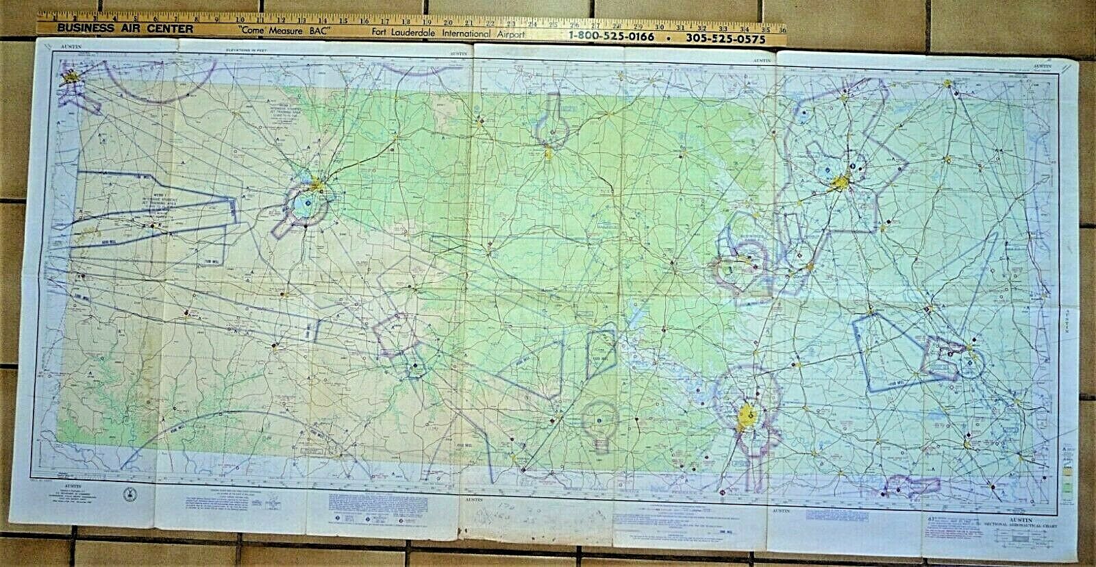
Austin Waco San Angelo Fort Hood Texas Aeronautical Sectional 1967 Flight Chart
$ 4.98
- Description
- Size Guide
Description
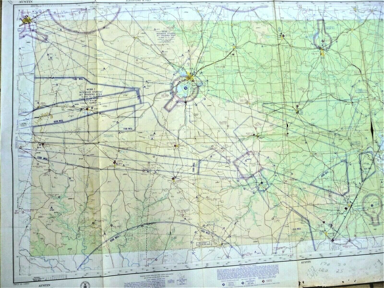
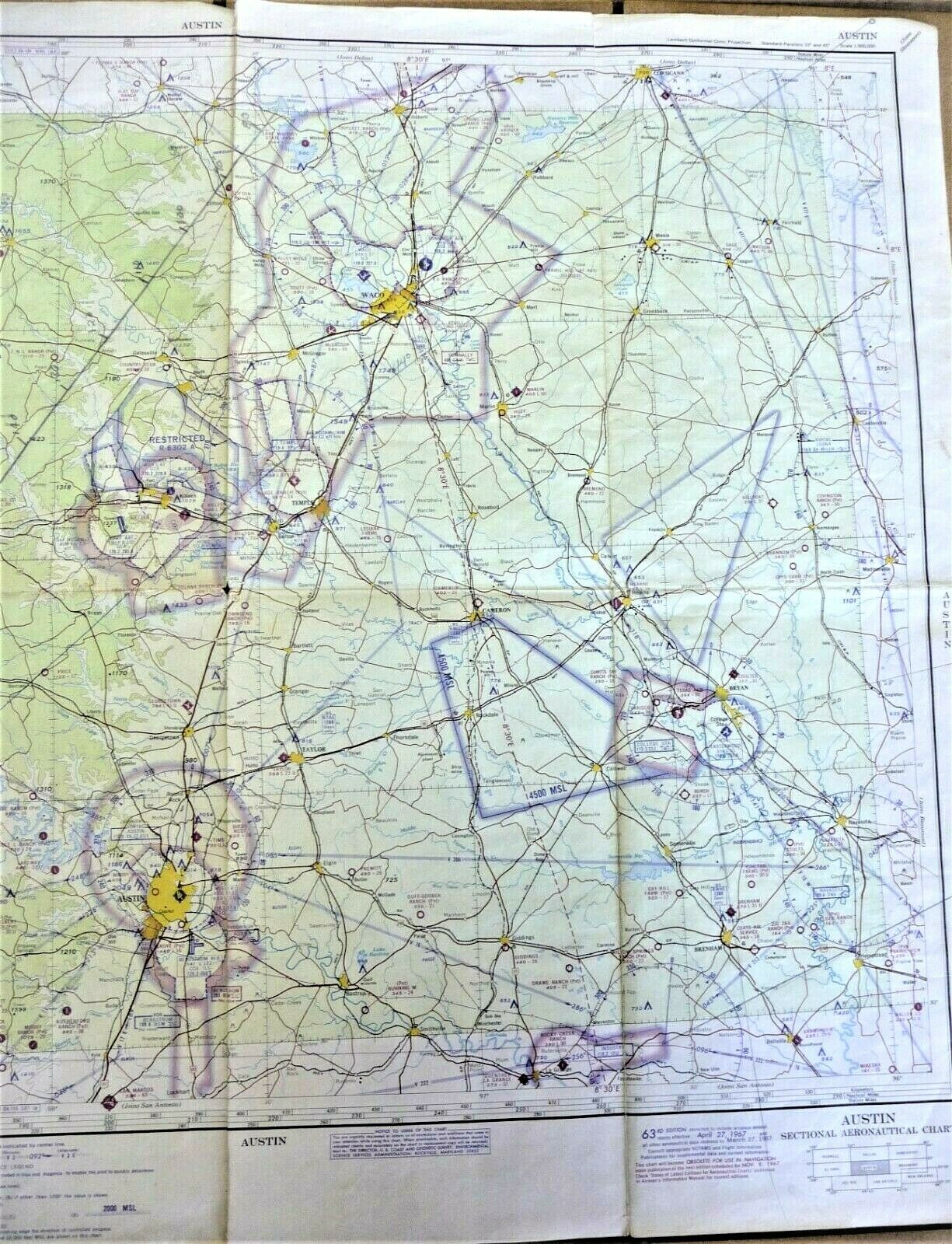
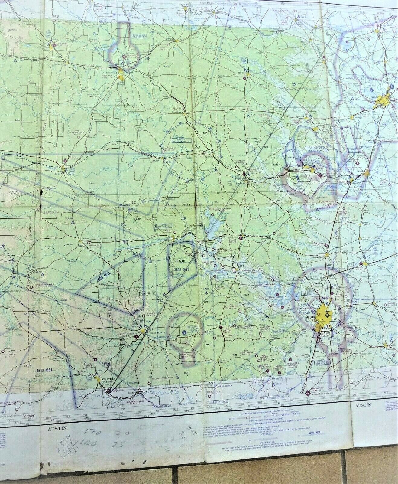
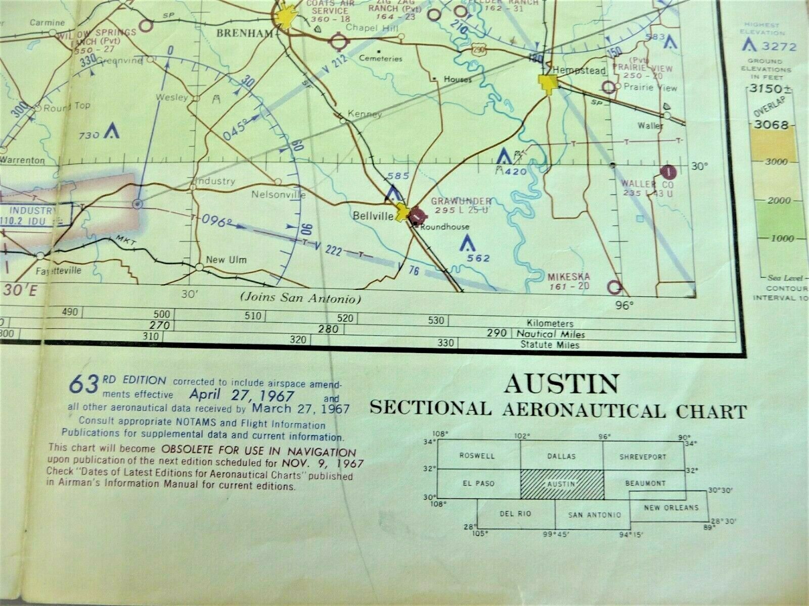
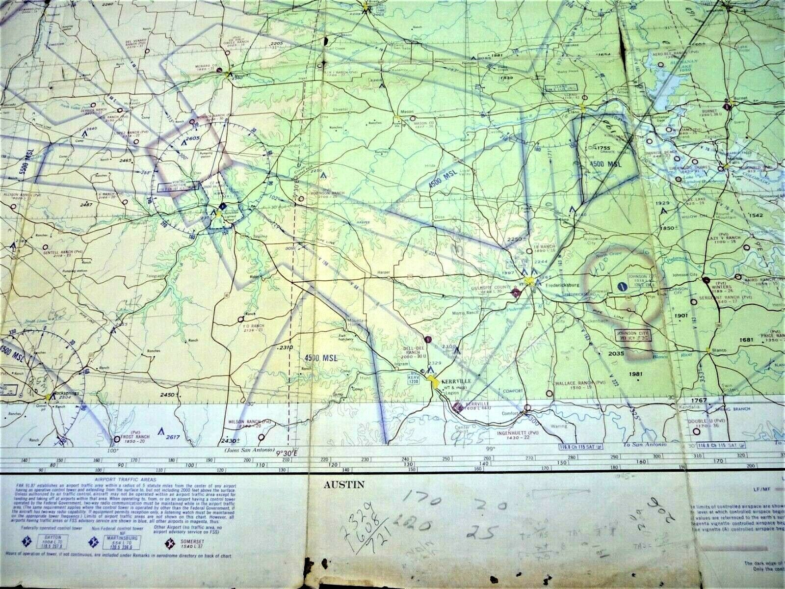
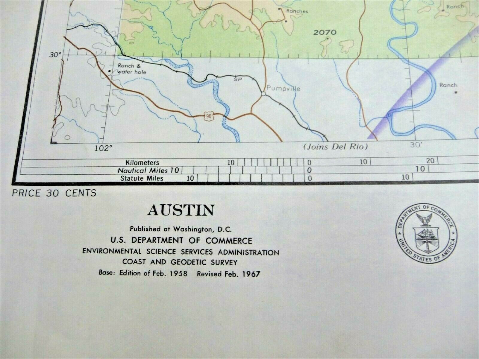
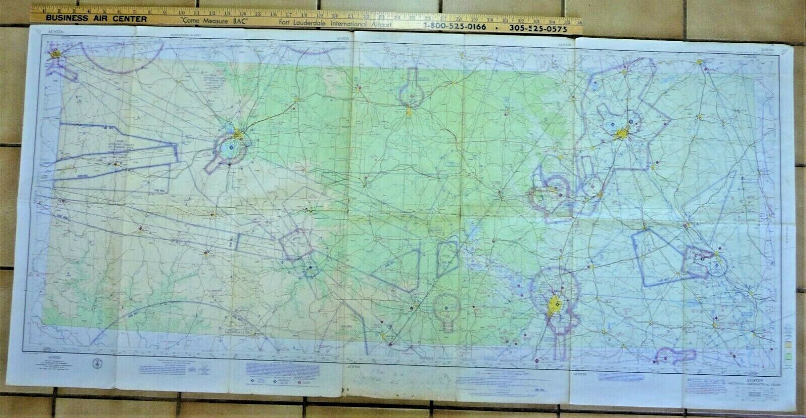
Vintage Sectional Aeronautical Chart Austin, Texas. Air information was current effective April 27, 1967.
This US Department of Commerce operational navigation chart depicts:
Restricted areas
Intensive student jet training area
Waco
San Angelo
Ford Hood
Completely unfolded, the map measures approximately 49.75 inches x 23.25 inches.
Scale 1:500,000
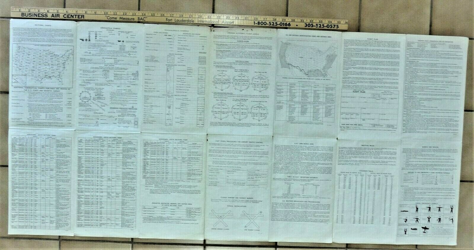
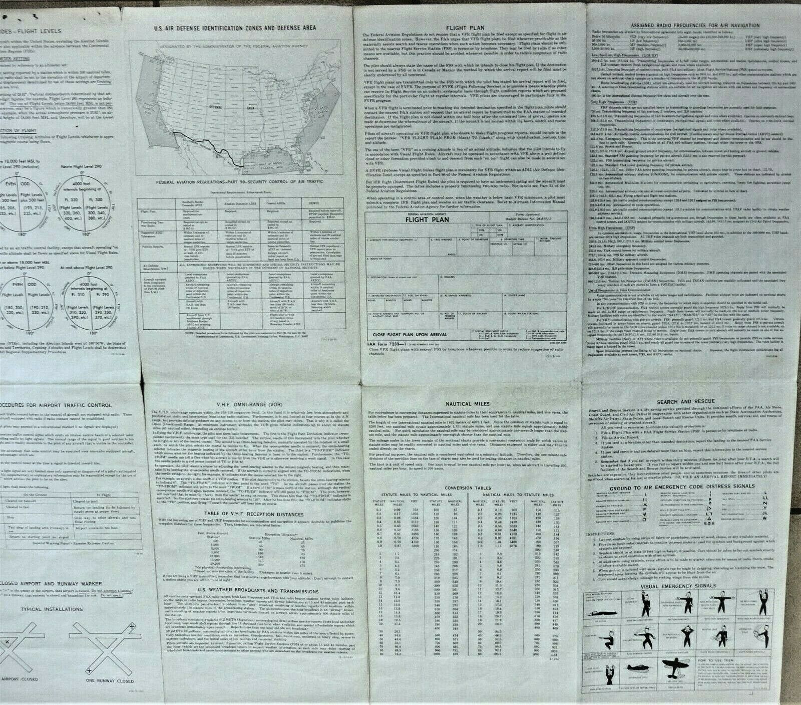
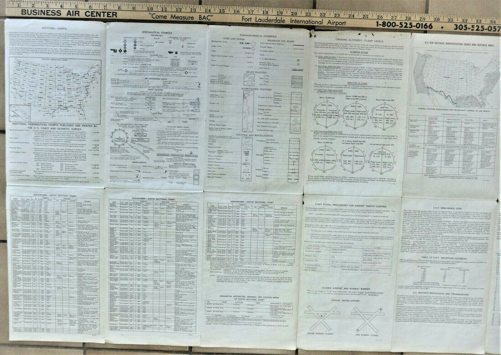
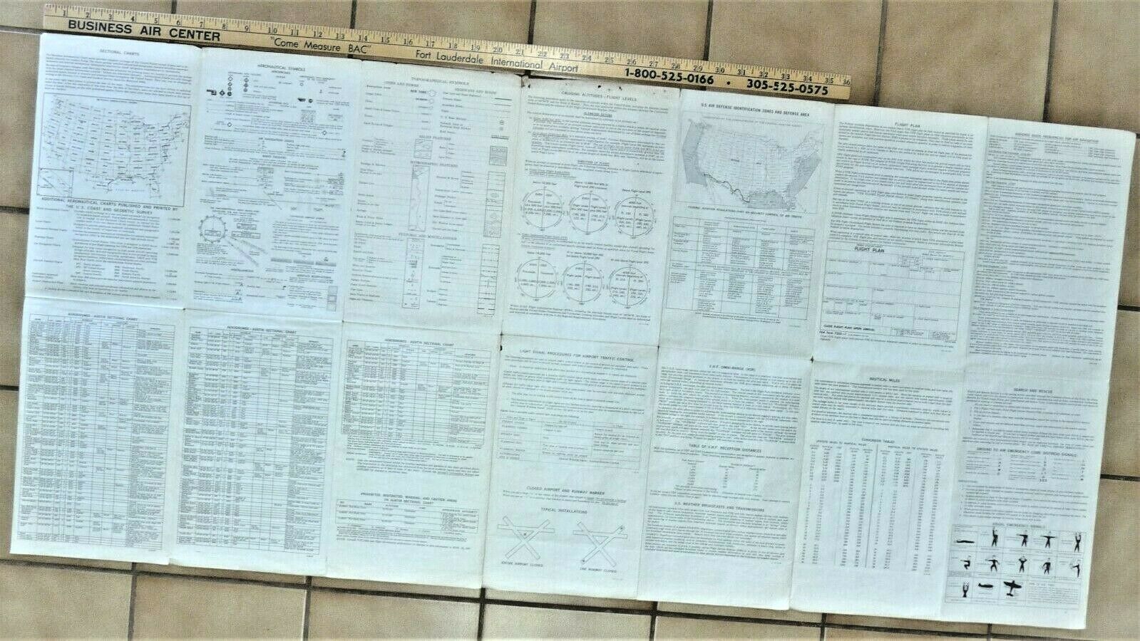
The back of the chart has legends, emergency visual signals, frequencies.
Age patina.
Tears at creases where it was folded and around the borders. Please advise if you need additional photographs.
